A digital mapping system, built for easy updating, at a 52-acre urban oasis.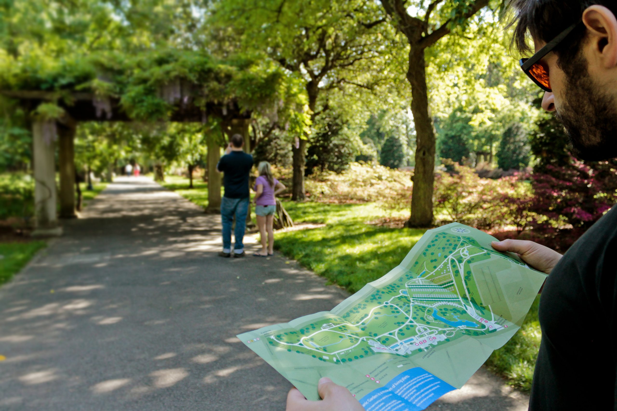
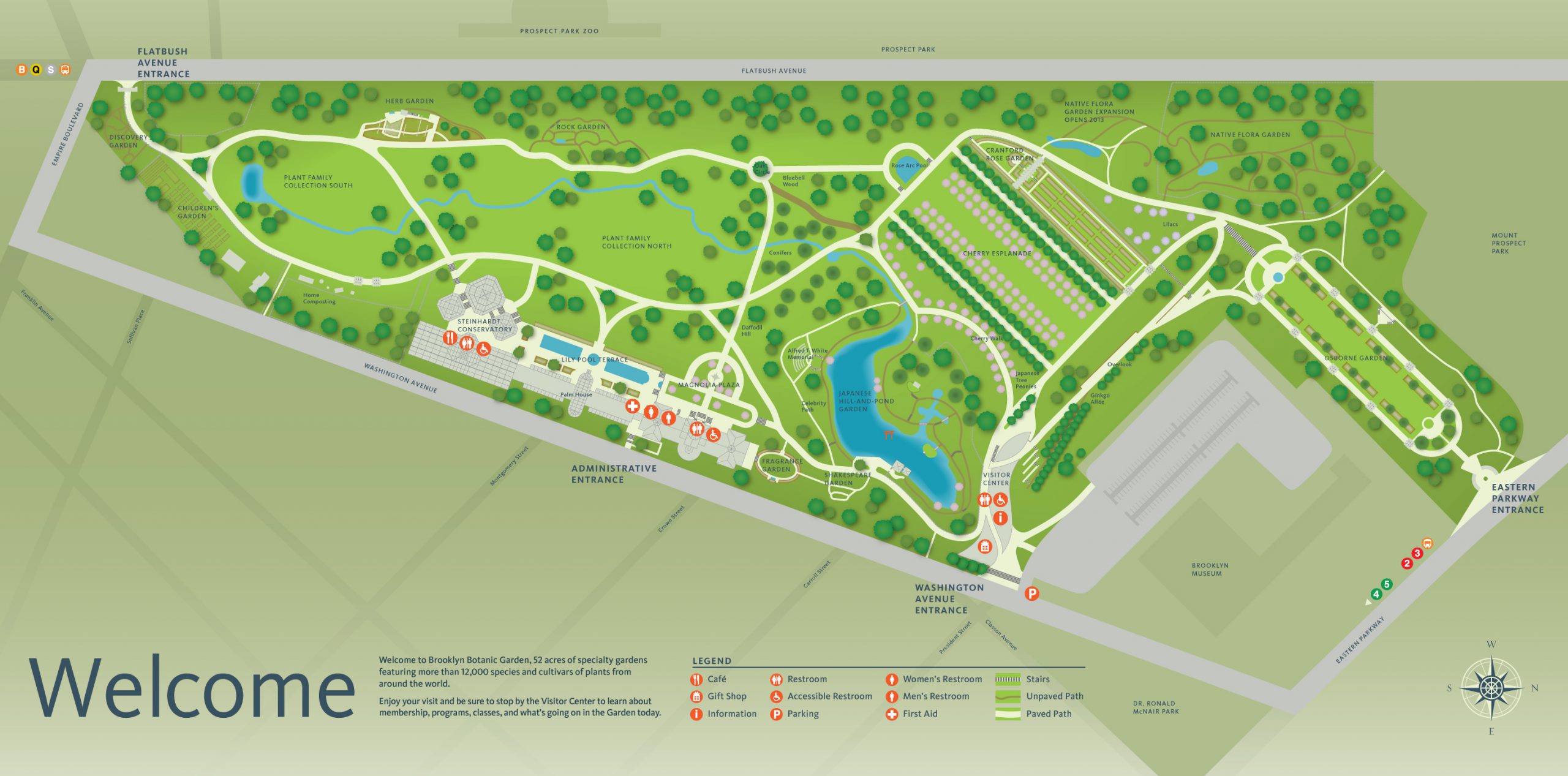
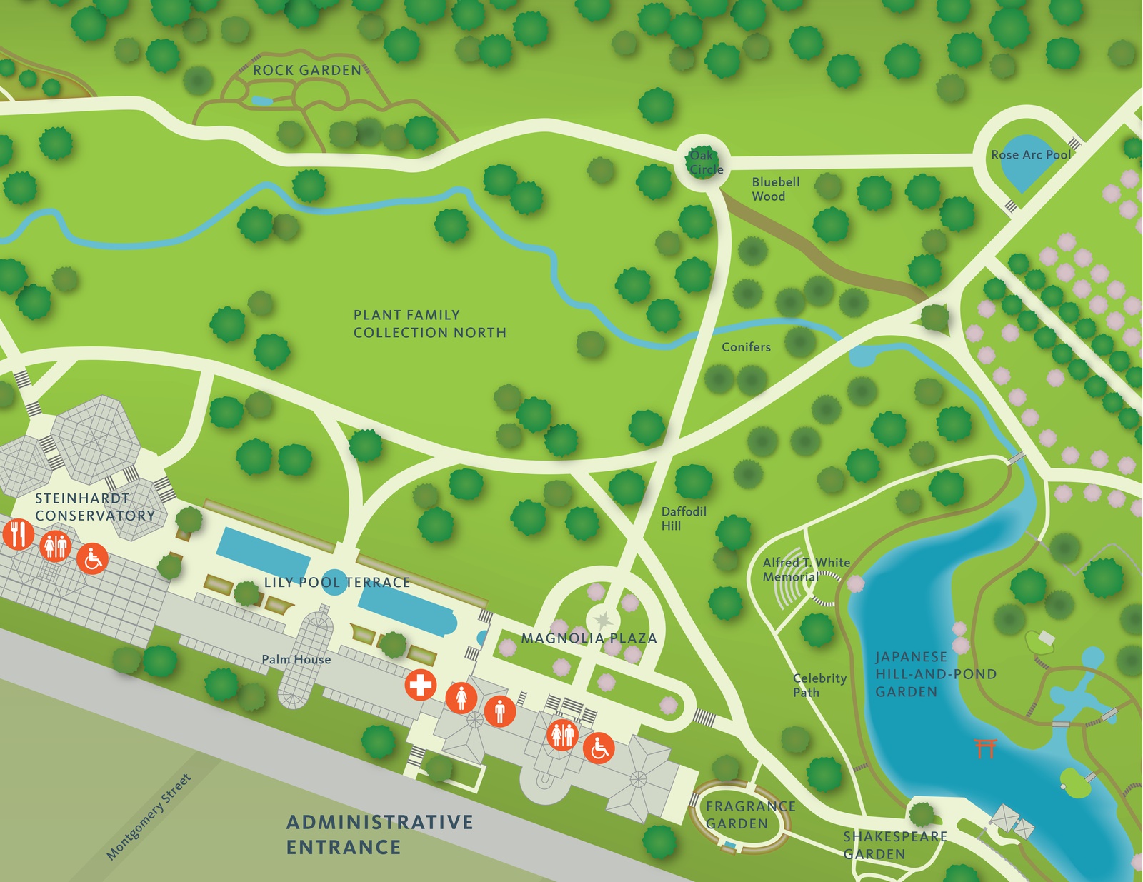
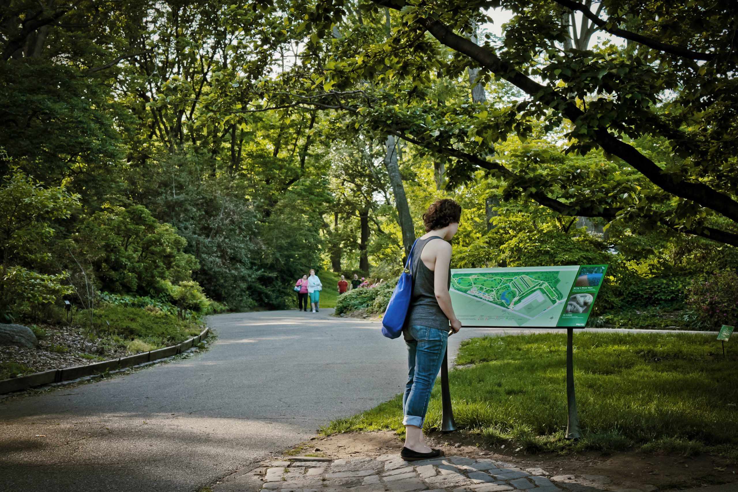
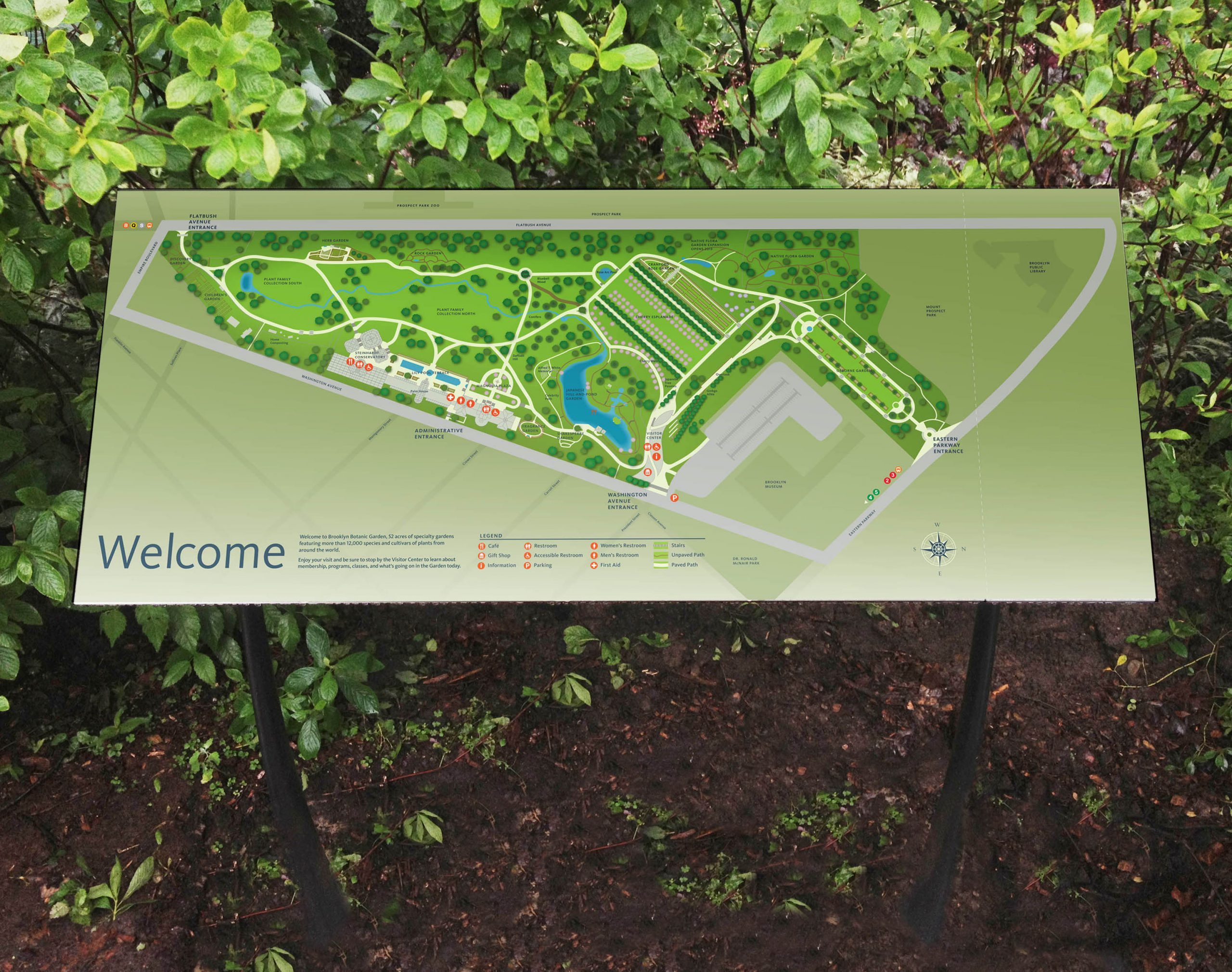
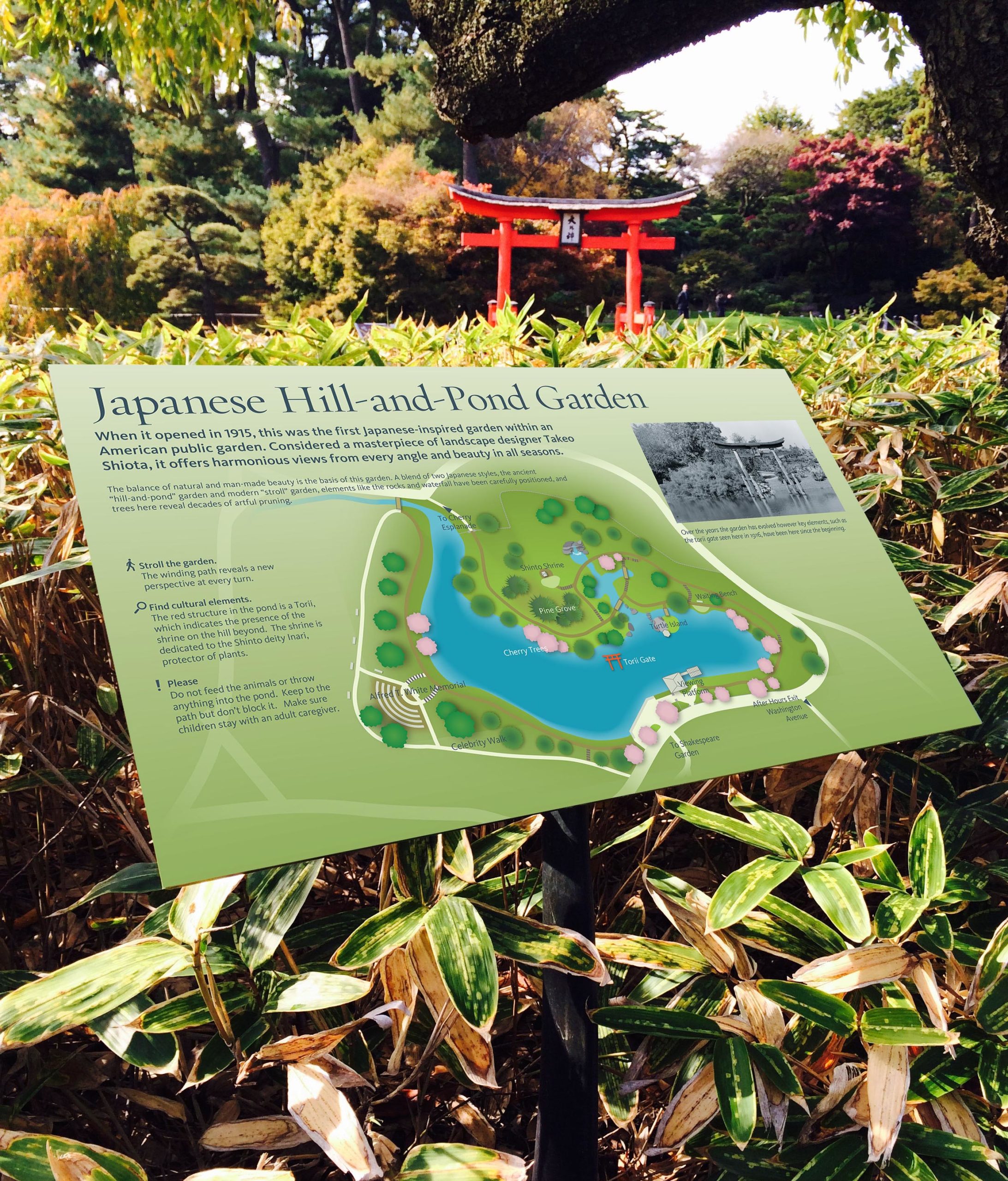
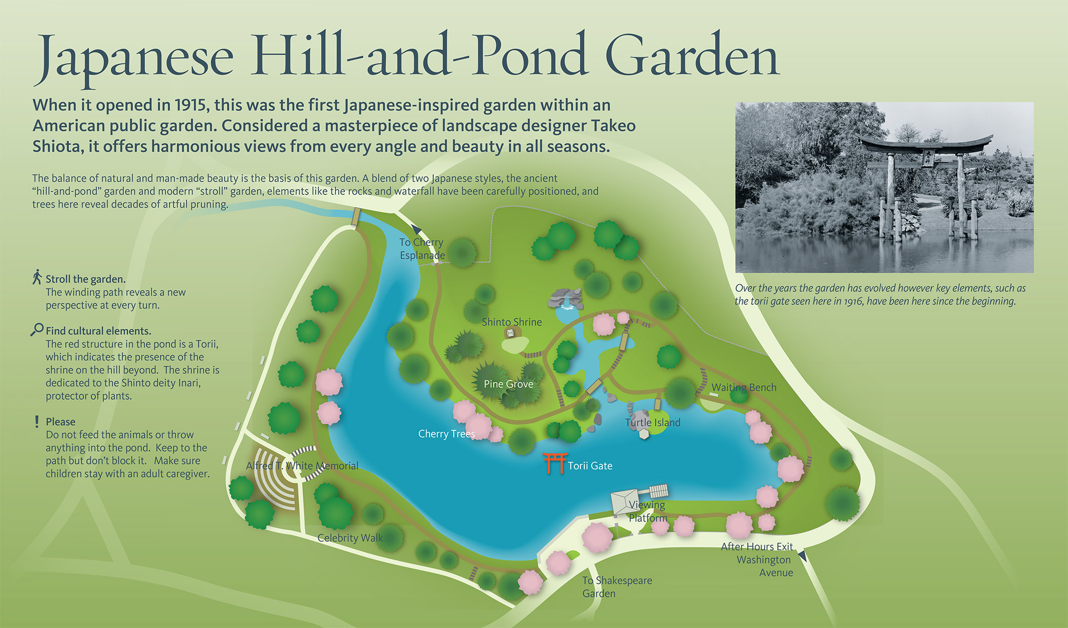
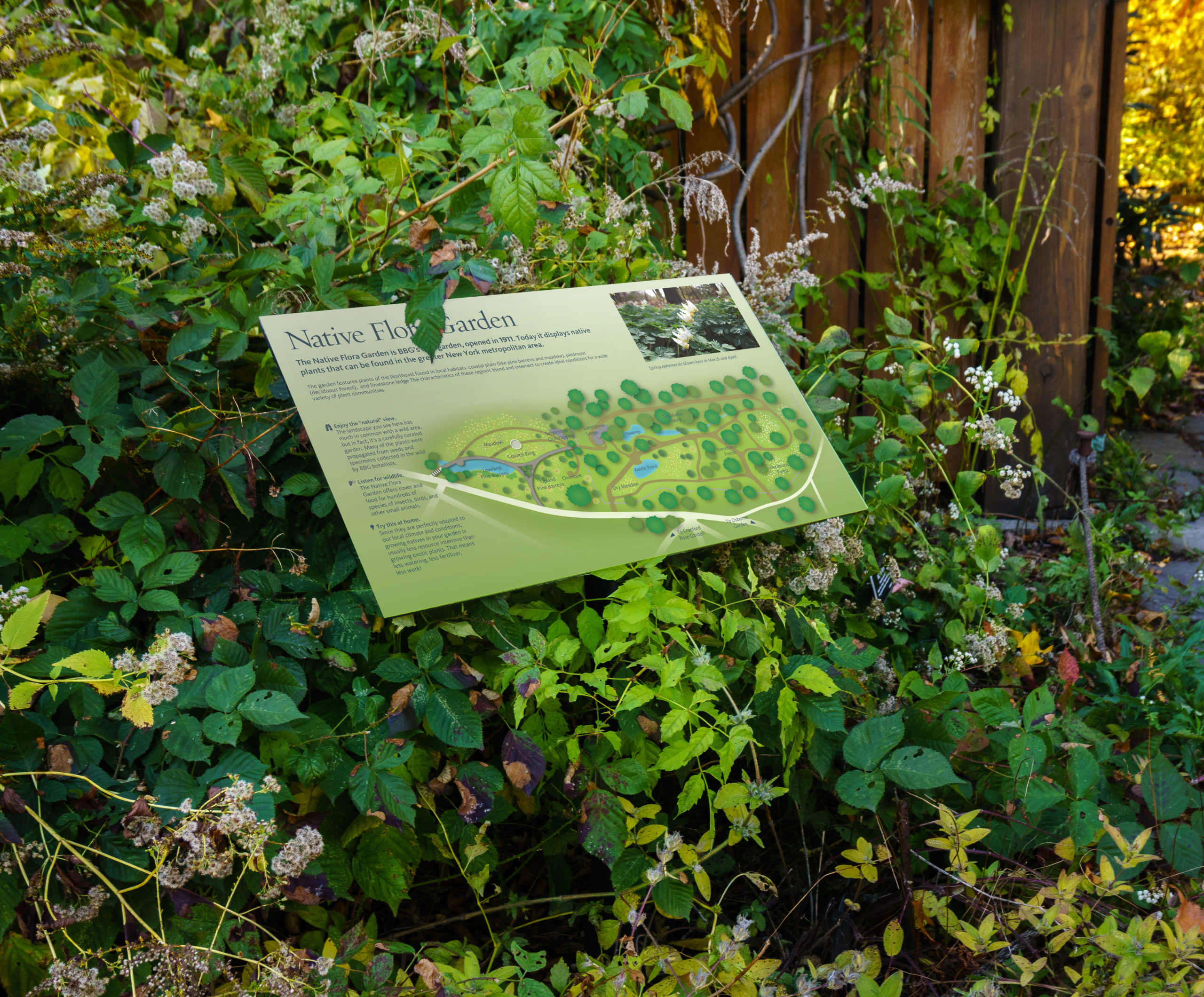
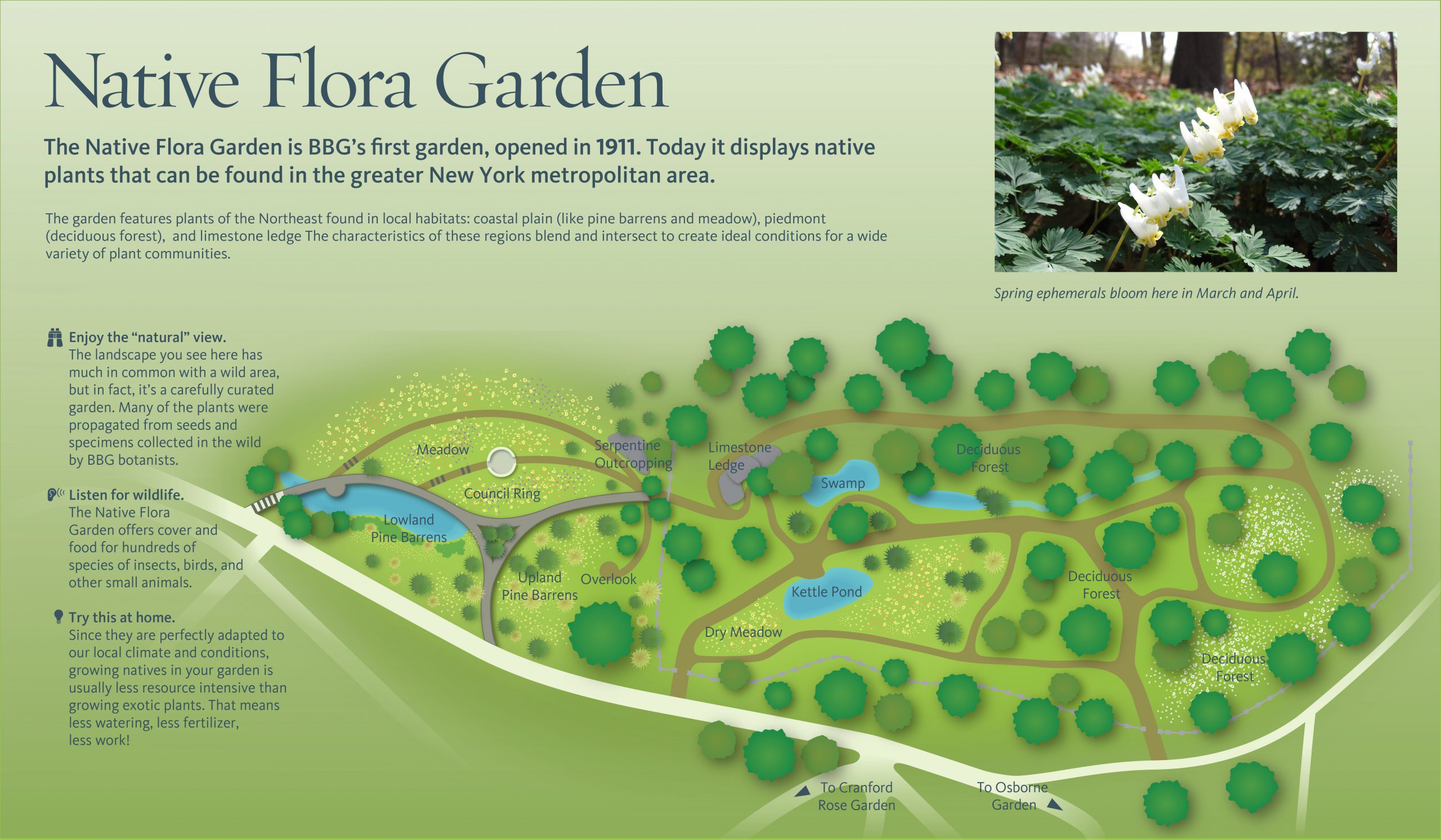
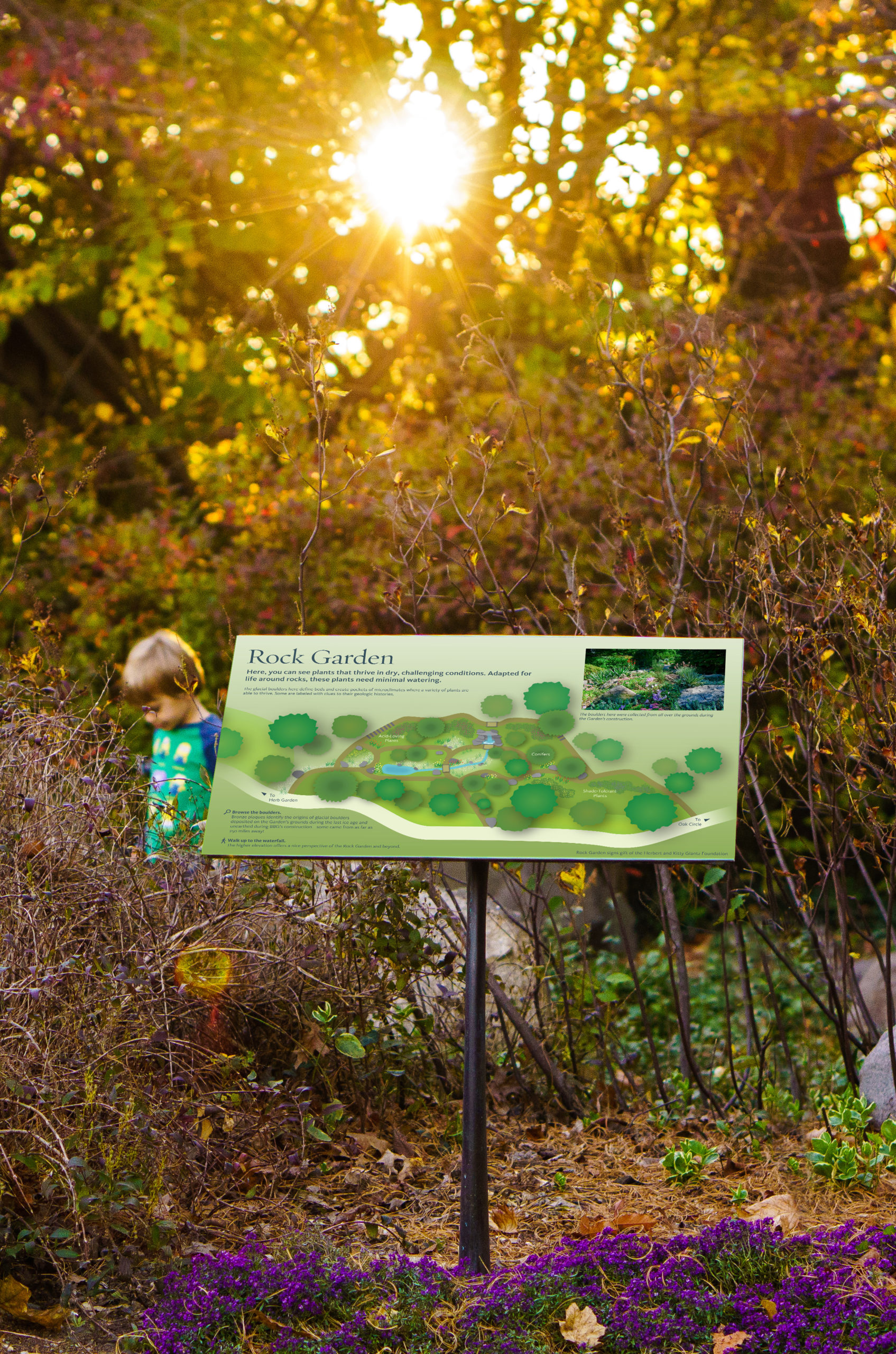
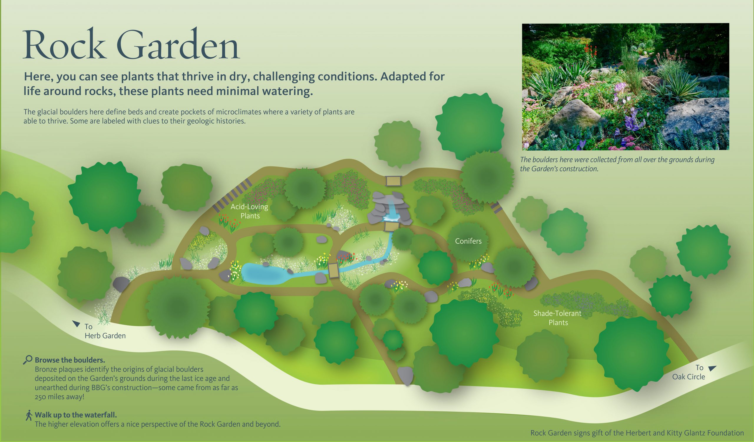
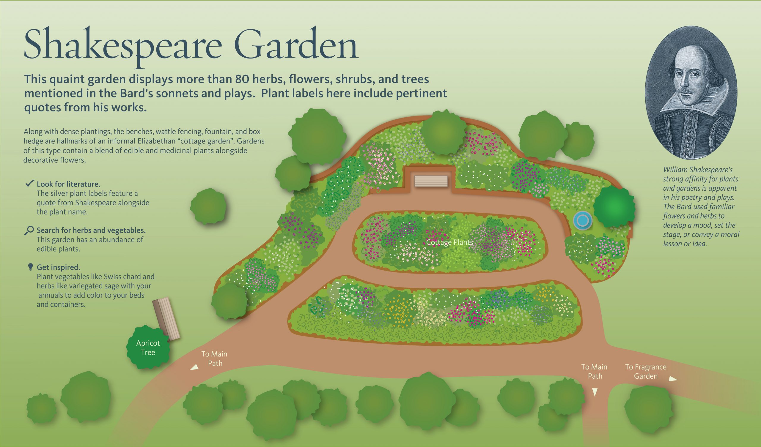
A comprehensive cartographic system for a 52-acre urban oasis, the Brooklyn Botanic Garden’s new map is simultaneously digital and traditional. While stylistically evocative of classic garden maps done in watercolors, the new system is a fully digital production, able to incorporate future changes in the landscape or nomenclature without redrawing by hand. Whether seen physically on the grounds, encountered as a digital installation in the Visitor Center, or used in a future app, the Garden Map will grow and expand along with the Garden for many years to come.